Form Apd 1 is a document that must be completed by any corporation or individual who wishes to engage in lobbying activities. The form requires disclosure of the name of the person or organization engaging in lobbying, as well as a description of the lobbying activities being conducted. Completed forms must be filed with the Missouri Ethics Commission on a quarterly basis. Penalties may apply for failure to file a Form Apd 1, so it is important to understand and comply with all requirements. This blog post will provide an overview of Form Apd 1 and instructions on how to complete it.
| Question | Answer |
|---|---|
| Form Name | Form Apd 1 |
| Form Length | 2 pages |
| Fillable? | No |
| Fillable fields | 0 |
| Avg. time to fill out | 30 sec |
| Other names | SOILWORK suffolk county soil group worksheet apd 1 form |

12/05)New York State Department of Agriculture and Markets
Division of Agricultural Protection and Development Services
10B Airline Drive
Albany, NY 12235
SOIL GROUP WORKSHEET
SECTION A: WORKSHEET
INFORMATION
Page ______ of ______
New Worksheet
Revised Worksheet
SECTION B. LANDOWNER NAME AND PORPERTY IDENTIFICATION
Landowner |
|
Last |
|
|
|
First |
|
|
|
|
|
Middle Initial |
|
||||
|
|
|
|
|
|
|
|
|
|
|
|
|
|
|
|
|
|
Name |
|
|
|
|
|
|
|
|
|
|
|
|
|
|
|
|
|
|
|
|
|
|
|
|
|
|
|
|
|
|
|
|
|
|
|
Mailing |
|
Street/Road No. and Name |
|
|
|
City, Town, Village |
|
|
|
|
|
State |
|
Zip Code |
|||
|
|
|
|
|
|
|
|
|
|
|
|
|
|
|
|
|
|
Address |
|
|
|
|
|
|
|
|
|
|
|
|
|
|
|
|
|
|
|
|
|
|
|
|
|
|
|
|
|
|
|
|
|
|
|
Property Location |
|
|
|
|
Street/Road No. and Name |
|
|
|
|
|
|
|
|
||||
|
|
|
|
|
|
|
|
|
|
|
|
|
|
|
|
||
Same as Mailing Address |
|
|
|
|
|
|
|
|
|
|
|
|
|
|
|
||
|
|
|
|
|
|
|
|
|
|
|
|
|
|
|
|
|
|
County |
|
|
|
|
Town/City |
|
|
|
|
|
Village |
|
|
|
|
||
|
|
|
|
|
|
|
|
|
|
|
|
|
|
|
|
||
Filing Status: |
Agricultural District |
Individual Commitment |
|
SECTION D: PARCEL ACREAGE SUMMARY * |
ACRES |
||||||||||||
|
|
|
|
|
|
|
|
|
|
||||||||
|
|
|
|
|
|
|
|
|
|
|
|
|
|||||
SECTION C: TAX MAP & ASSESSMENT ROLL INFORMATION |
|
|
(1) Agricultural Land |
|
|
|
|
||||||||||
|
|
|
|
|
|
|
|
|
|
|
|
|
|
||||
SWIS Code (six digits) |
|
|
|
|
|
|
|
(2) Farm Woodland (up to 50 acres) |
|
||||||||
Tax Map Identifier |
section |
block |
|
lot |
|
|
(3) Excess Farm Woodland |
|
|
|
|
||||||
Roll Identifier (if different) |
|
|
|
|
|
|
|
(4) |
|
|
|
|
|||||
Total Parcel Acres |
|
|
|
|
|
|
|
|
TOTAL ACREAGE |
|
|
|
|
||||
SECTION E: SOIL MAP BREAKDOWN OF AGRICULTURAL LAND |
|
|
|
|
|
|
SECTION F: |
|
|||||||||
SOIL MAP |
|
|
|
|
|
|
|
Scale: 1" = _______ |
NUMBER |
AGRICULTURAL LAND SOIL GROUP |
|||||||
SYMBOL |
|
SOIL MAP UNIT NAME |
|
|
SOIL GROUP |
|
No. of Grid Points |
ACRES |
|
SUMMARY |
|
||||||
|
|
|
|
|
|
|
|
|
|
|
|
|
Mineral Soil Group |
|
Acres |
||
|
|
|
|
|
|
|
|
|
|
|
|
|
|
a |
|
|
|
|
|
|
|
|
|
|
|
|
|
|
1 |
|
|
|
|
||
|
|
|
|
|
|
|
|
|
|
|
b |
|
|
||||
|
|
|
|
|
|
|
|
|
|
|
|
|
|
|
|
||
|
|
|
|
|
|
|
|
|
|
|
|
|
|
|
|
|
|
|
|
|
|
|
|
|
|
|
|
|
|
|
|
a |
|
|
|
|
|
|
|
|
|
|
|
|
|
|
2 |
|
|
|
|
||
|
|
|
|
|
|
|
|
|
|
|
b |
|
|
||||
|
|
|
|
|
|
|
|
|
|
|
|
|
|
|
|
||
|
|
|
|
|
|
|
|
|
|
|
|
|
|
|
|
|
|
|
|
|
|
|
|
|
|
|
|
|
|
|
|
a |
|
|
|
|
|
|
|
|
|
|
|
|
|
|
3 |
|
|
|
|
||
|
|
|
|
|
|
|
|
|
|
|
b |
|
|
||||
|
|
|
|
|
|
|
|
|
|
|
|
|
|
|
|
||
|
|
|
|
|
|
|
|
|
|
|
|
|
|
|
|
|
|
|
|
|
|
|
|
|
|
|
|
|
|
|
|
a |
|
|
|
|
|
|
|
|
|
|
|
|
|
|
4 |
|
|
|
|
||
|
|
|
|
|
|
|
|
|
|
|
b |
|
|
||||
|
|
|
|
|
|
|
|
|
|
|
|
|
|
|
|
||
|
|
|
|
|
|
|
|
|
|
|
|
|
|
|
|
|
|
|
|
|
|
|
|
|
|
|
|
|
|
|
|
a |
|
|
|
|
|
|
|
|
|
|
|
|
|
|
5 |
|
|
|
|
||
|
|
|
|
|
|
|
|
|
|
|
b |
|
|
||||
|
|
|
|
|
|
|
|
|
|
|
|
|
|
|
|
||
|
|
|
|
|
|
|
|
|
|
|
|
|
|
|
|
|
|
|
|
|
|
|
|
|
|
|
|
|
|
|
|
a |
|
|
|
|
|
|
|
|
|
|
|
|
|
|
6 |
|
|
|
|
||
|
|
|
|
|
|
|
|
|
|
|
b |
|
|
||||
|
|
|
|
|
|
|
|
|
|
|
|
|
|
|
|
||
|
|
|
|
|
|
|
|
|
|
|
|
|
|
|
|
||
|
|
|
|
|
|
|
|
|
|
|
7 |
|
|
|
|
||
|
|
|
|
|
|
|
|
|
|
|
|
|
|
|
|
||
|
|
|
|
|
|
|
|
|
|
|
8 |
|
|
|
|
||
|
|
|
|
|
|
|
|
|
|
|
|
|
|
|
|
||
|
|
|
|
|
|
|
|
|
|
|
9 |
|
|
|
|
||
|
|
|
|
|
|
|
|
|
|
|
|
|
|
|
|
||
|
|
|
|
|
|
|
|
|
|
|
10 |
|
|
|
|
||
|
|
|
|
|
|
|
|
|
|
|
|
|
|
||||
|
|
|
|
|
|
|
|
|
|
|
Organic (muck) Soil Group |
|
Acres |
||||
|
|
|
|
|
|
|
|
|
|
|
|
|
A |
|
|
|
|
|
|
|
|
|
|
|
|
|
|
|
|
|
|
|
|
|
|
|
|
|
|
|
|
|
|
|
|
|
|
|
B |
|
|
|
|
|
|
|
|
|
|
|
|
|
|
|
|
|
|
|
|
|
|
|
|
|
|
|
|
|
|
|
|
|
|
|
C |
|
|
|
|
|
|
|
|
|
|
|
|
|
|
|
|
|
|
|
|
|
|
|
|
|
|
|
|
|
|
|
|
|
|
|
D |
|
|
|
|
|
|
|
|
|
|
|
|
|
|
|
|
|
|
||||
* SEE EXPLANATION OF TERMS ON BACK |
|
|
|
|
|
|
|
|
SOIL GROUP |
|
|
||||||
SECION G: DATE AND SIGNATURES |
|
|
|
|
|
|
|
TOTAL ACRES |
|
|
|||||||
Jointly Reviewed and Concurred: |
|
|
|
|
|
|
|
|
|
|
|
|
|
|
|
||
|
|
|
|
|
|
|
|
|
|
Date: ___________________ |
|
||||||
Landowner |
|
|
|
|
|
|
Completed by: |
|
|
|
|
||||||
Signature _____________________________________________ |
Signature ________________________________________ |
||||||||||||||||
|
|
|
|
|
|
|
|
|
|
|
|
|
|
|
|
|
|
Distribution: Submit Original Copy to the Assessor and copies to SWCD and Landowner
INSTRUCTIONS FOR COMPLETING SOIL GROUP WORKSHEET
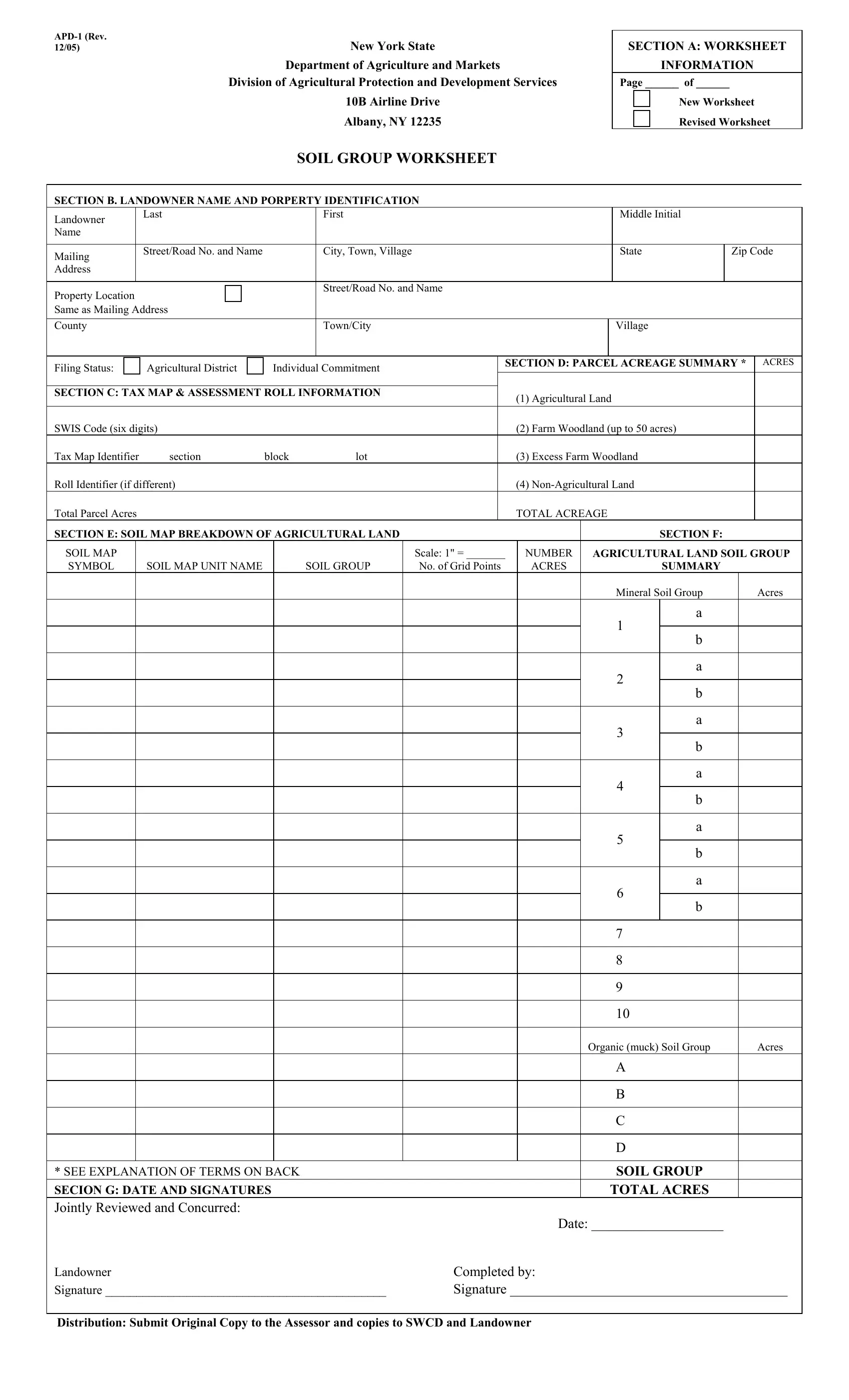
This form becomes part of a document used in Real Property Tax Administration so it must be filled out completely and accurately for the local assessor’s use. It is important to note the following before completing worksheets for a farm.
1.Every parcel as identified on the assessment roll must have its own worksheet prepared, do not combine parcels on one worksheet.
2.Do not leave any blanks even when filling out multiple worksheets for the same landowner.
3.Make sure each copy is readable. Typing the information is the ideal way to make sure the information is legible and the copies are readable. If you are handwriting the information, please print legibly and press down so the copies are readable.
4.For details on completing the various sections, see separate instructions.
5.For newly planted orchards and vineyards, see Form
EXPLANATION OF TERMS
1. AGRICULTURAL LAND |
Means, one of ten mineral soil groups or subdivisions |
|
thereof or four organic soil groups for lands used in |
|
agricultural production exclusive of farm woodlands. |
|
Lands in this category include cropland, pasture, |
|
orchards, vineyards, managed Christmas tree plantations, |
|
sugarbush, aquaculture, and supportland. Agricultural |
|
land must equal Soil Group Total Acres. |
2.FARM WOODLAND (UP TO 50A) Farm woodland means land used for the production for sale of woodland products, including but not limited to logs, lumber, posts, and firewood. Farm woodland which will qualify for an agricultural assessment as “land used in agricultural production” must be part of and qualified for an agricultural assessment provided, however, that such farm woodland attributable to any separately described and assessed parcel must not exceed fifty (50) acres. Farm woodland must not include land used for the processing or retail merchandising of woodland products, ledge, marsh, open swamp, bog, water, and similar areas. Such land must have a forest growth of suitable character and distribution to give assurance that a stand of merchantable lumber will be developed within a reasonable time.
3. |
EXCESS FARM WOODLAND |
Any farm woodland over the 50 acre maximum allowed |
|
|
in Section D (2) of this form. Clearly describe for the |
|
|
assessor any acreage in this category on the map |
|
|
provided. This is important in the event of a conversion. |
|
|
This land is not subject to the payment provision. |
4. |
Ineligible land uses including but not limited to the |
|
|
|
following: landowner’s residence and lot, gravel quarry |
|
|
or other mineral, oil or natural gas extraction, |
|
|
commercial hunting and game preserves as well as any |
|
|
other commercial recreational uses such as camping and |
athletic facilities and parks, retail establishments of any kind including restaurants, lodging facilities and roadside stands used for sale of crops, livestock, or livestock products, processing facilities, sawmills, and fertilizer plants.
Also, any land withheld from the agricultural assessment program by the landowner should be placed in this category.